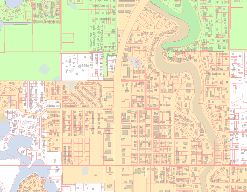
2004: Pasco County Florida Parcel Mapping
The Challenge
The county experienced a high volume of development and could not keep their mapping up to date with all the new activity so they reached out to MNC for assistance.
The Solution
For approximately five years MNC provided GIS and Parcel Fabric Mapping Services to Pasco County’s Property Appraisers’ Office. MNC developed an automated “Esri Coverage to Bentley DGN (Bentley CAD format) to Esri Coverage” conversion process which enabled MNC to integrate plats using MNC’s proprietary integration software AltaPLAN®, yet deliver the end product to the client in the original Esri Coverage format; which is now a somewhat obsolete data format from Esri (ArcGIS).
Using AltaPLAN® and other in-house AML (Arc Macro Language) and MDL (Microstation Development Libraries) routines, MNC maintained Pasco County’s parcel base with a five-day turnaround on the parcel creation process after a plan had been approved.
The Results
Pasco County mapping costs were reduced by 50%.