2001: Alberta Geo-Administrative Mapping
MNC maintains the Geo-administrative Boundaries for Alberta Municipalities, Towns, Cities, Villages, Urban Service Areas, Summer Villages, and Indian Reserves in alignment with the Cadastral and Titles fabrics.
![]()
The Challenge
The current administrative boundaries did not align with the Cadastral Provincial Mapping which makes it difficult for users to rely on the information for decision making.
The Solution
MNC went through a process to aligned all the Municipal boundaries that fall under the Mapping Data Agreement to align with the Cadastral Provincial Mapping and continues to maintain these alignments using the following software, Bentley (MicroStation), Esri (ArcGIS) and Safe Software (FME).
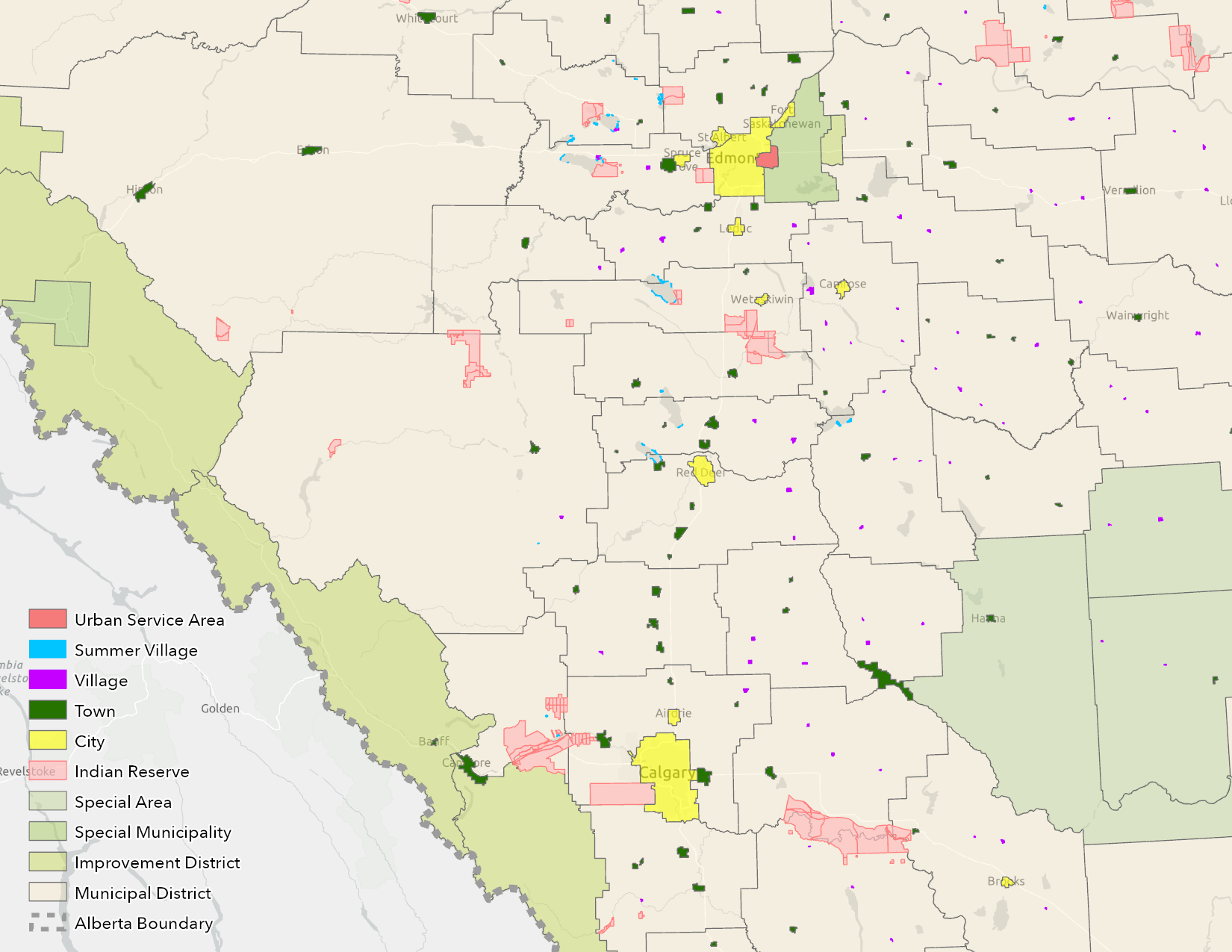
The Results
Aligning municipal boundaries with the cadastral fabric contributes to better governance, improved land management, and enhanced decision-making processes for local Governments.