





FME Services for Land Administration

MNC's FME (Feature Manipulation Engine) Services empower land administration organizations to automate, modernize, and integrate spatial data processes efficiently, now enhanced by GeoAI capabilities. FME, developed by Safe Software, is an industry-leading data integration and transformation platform that supports a broad range of formats and workflows crucial for land and property management.

Our FME Services Include:

Data Migration and System Modernization

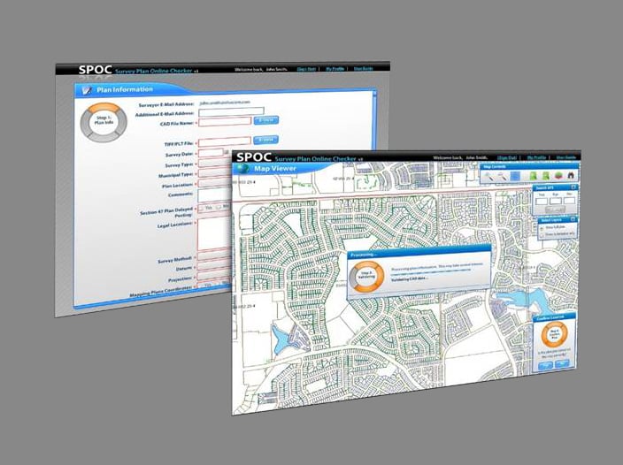
Data extraction, transformation, and remapping for on-demand or large-scale data migrations from legacy or disparate systems into modern land administration platforms, using GeoAI for automated feature extraction and classification.


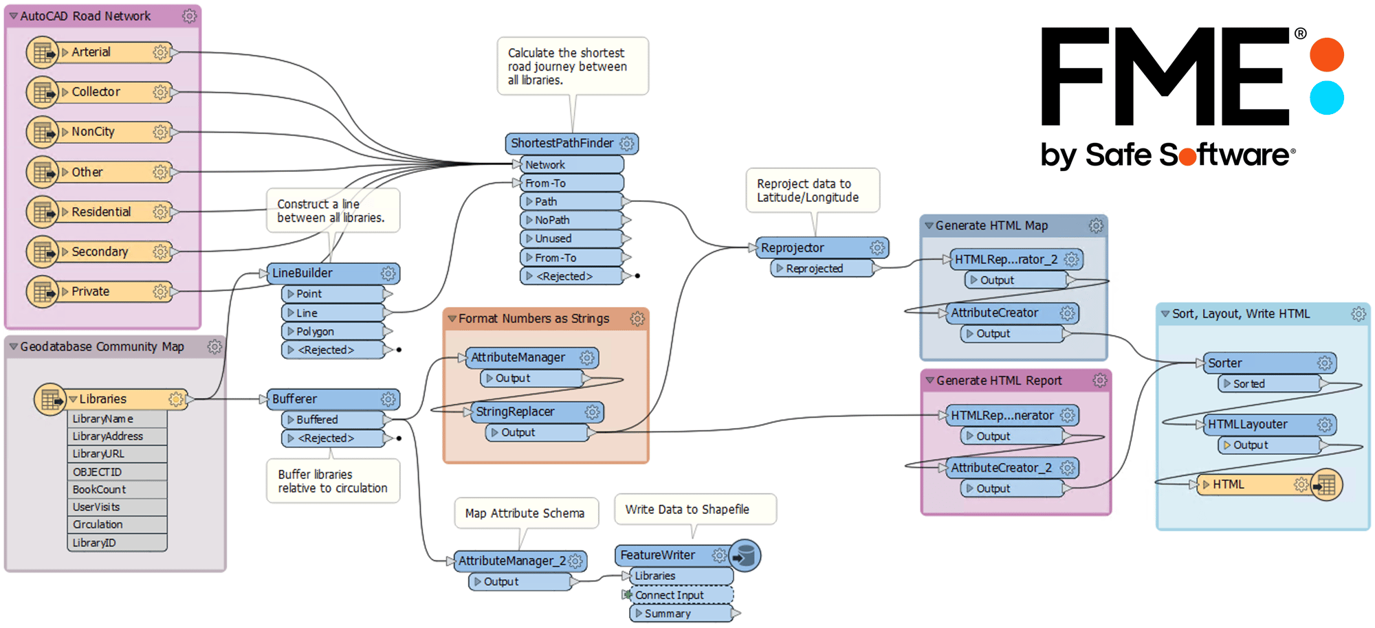
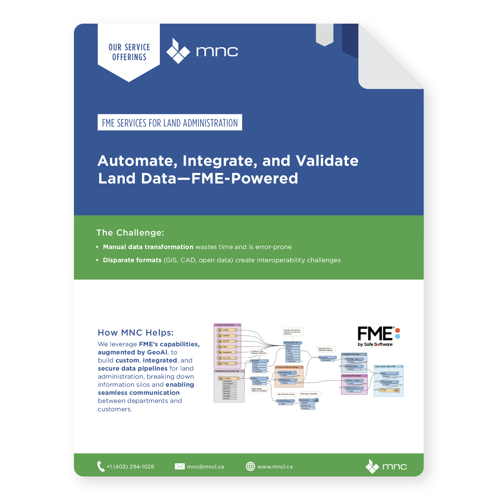
FME workflow diagram showing automated data transformation, validation, and reporting processes
MNC FME Service Brochure Thumbnail

Why FME Services for Land Administration?

Automate, validate, and enrich land data with FME + GeoAI.

Valued Outcomes

Increased efficiency and automation of land administration processes, significantly boosted by GeoAI-driven operations.
Improved data quality, consistency, and accuracy, particularly through GeoAI-enhanced validation and automated feature extraction.
Seamless integration and data flow across multiple systems and formats.
Enhanced public service delivery with more reliable, accessible data.
Stronger decision-making through real-time spatial analysis and reporting, driven by GeoAI-powered insights and predictions.
Simplified, risk-reduced data migration and modernization initiatives.
Greater data security and auditability, supported by transparent GeoAI workflow logging within FME.
Scalable and flexible solutions supporting current and future land administration needs.

Frequently Asked Questions

What is FME?

FME (Feature Manipulation Engine) is a data integration and automation platform developed by Safe Software. It is the industry-standard tool for connecting, converting, and automating the movement of spatial and non-spatial data between systems and formats. In land administration, FME is the technology of choice for automating data migrations, format conversions, quality checks, and system integrations, and MNC is a certified FME Systems Integrator.

MNC is a certified Safe Software FME Systems Integrator and Authorized Partner, with multiple FME-certified staff. This gives MNC direct access to Safe Software's technical resources, pre-release product information, and escalation paths for complex technical issues, delivering a deeper level of FME expertise than a generalist integrator can offer.

FME supports over 450 data formats, including all major GIS formats (shapefiles, geodatabases, KML, GeoJSON), CAD formats (AutoCAD, MicroStation), databases (Oracle, SQL Server, PostgreSQL), and enterprise systems (SAP, Salesforce, web services). FME can connect your GIS, LIS, property assessment, title registry, and document management systems into a single automated workflow.

FME executes automated validation checks at any point in a data workflow, testing geometry for topological errors, validating attribute values against defined domains, detecting duplicate or conflicting records, and generating detailed exception reports. These routines run on a scheduled cycle, ensuring data quality is maintained continuously rather than checked periodically.

Automating regular land data updates is one of FME's highest-value applications for land administration. MNC has built FME workflows that automatically pull updates from multiple source systems, validate and transform the data, and load the results into the production GIS or LIS on a daily, weekly, or monthly schedule, eliminating manual steps that previously required hours of staff time per cycle.

FME's strength is connecting systems that would otherwise require expensive, brittle custom integration work. MNC has used FME to bridge legacy mainframe databases, custom land information systems, and non-standard data sources with modern ArcGIS environments, replacing manual synchronization processes with automated, validated pipelines. 

FME is an excellent ETL (extract, translate, load), tool for populating land data warehouses and feeding business intelligence platforms like Power BI. MNC builds FME workspaces that connect to all relevant source systems, GIS, LIS, property assessment, title registry — merges spatial and tabular data, performs calculations, and loads structured outputs for analysis.

→ Discuss FME automation for your workflows: mncl.ca/contact/

→ View FME use cases: mncl.ca/use-cases/

Elevate Your Land Data With Trusted Geomatics Experts

From Parcel Fabric Modernization to seamless data migration,
MNC delivers reliable, on-time, and on budget solutions tailored to your
organization's needs. Let's build smarter systems together.