









Needs and Requirements Analysis

MNC Needs and Requirements Services are designed to help land administration organizations clearly define, document, and prioritize their data-related business and technical requirements. Whether you're planning to integrate cadastral, registration, and valuation systems, implement automated data transformation workflows, establish secure and scalable exchanges of land and property information, or plan for GeoAI-driven operational improvements, we provide a structured approach to ensure your project's success.

Our Areas of Expertise in Needs and Requirement Analysis:

Land Data Integration Requirements

Map how land records, cadastral maps, property data, and GeoAI outputs move between internal systems, partners, and government portals.

Define required interfaces, data formats, and exchange protocols across cadastral, registry, and GIS platforms for both standard and AI generated data.

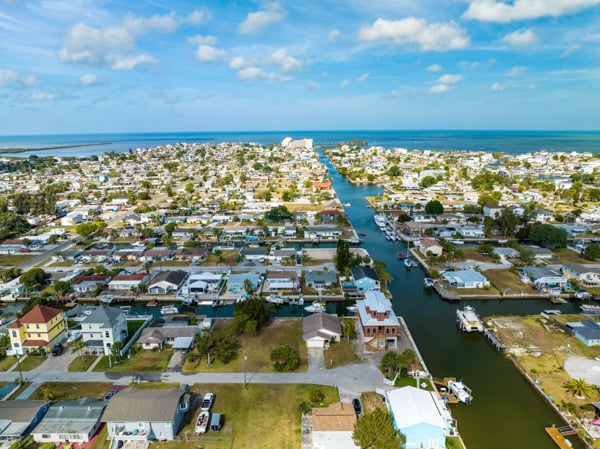
GIS professionals analyzing land data requirements and system workflows
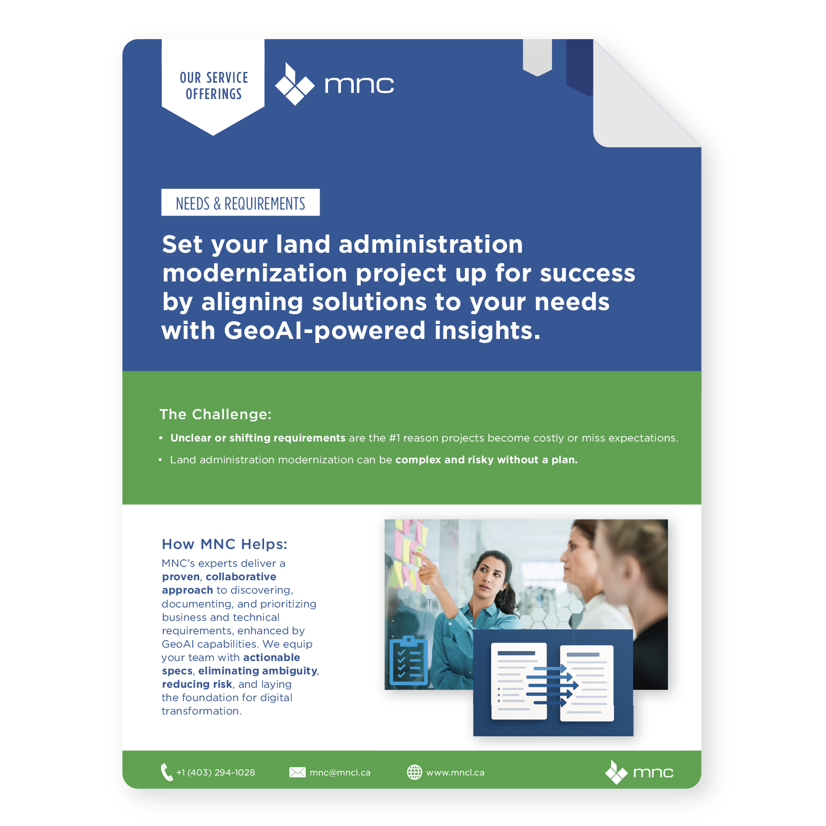
MNC Needs and Requirements Service Brochure Thumbnail

Why Needs and Requirements Analysis?

Define your land administration needs upfront and turn them into clear, actionable plans that reduce risk, avoid costly rework, and ensure long-term value.


Valued Outcomes

Identification of innovative solutions leveraging GeoAI for automation, predictive analytics, and enhanced decision-making.
Alignment of requirements with land administration goals, including the strategic integration of advanced technologies like GeoAI.
Clear vision for solution architecture, encompassing both traditional and GeoAI-driven components.
Reduced project risk through detailed analysis and planning.
Optimized resource utilization and efficient system development.
Greater stakeholder confidence and engagement.
A strong foundation for ongoing digital transformation.
Scalability to support future organizational growth, increased transaction volumes, and the evolving demands of GeoAI-powered processes.

Frequently Asked Questions

What is a GIS Needs and Requirements Analysis?

A Needs and Requirements Analysis is a structured process to clearly define what your organization needs from a GIS or land data system before any technology is purchased or built. MNC interviews stakeholders across your organization, reviews existing workflows, and produces a formal document covering business rules, data standards, integration requirements, and technical specifications.

Any time your organization is planning a new GIS system, modernizing an existing one, or considering adding GeoAI capabilities. Doing this work upfront, before selecting technology or starting development, dramatically reduces project risk, prevents costly rework, and ensures the solution solves the right problems.

Most engagements take between 4 and 12 weeks, depending on the size and complexity of your organization. A single-department system analysis is typically faster; a multi-agency provincial land administration review takes longer due to the number of stakeholders, systems, and business processes involved.

MNC regularly conducts requirements engagements through remote workshops, stakeholder interviews, and document reviews, and works with clients across Canada, the USA, and the Caribbean. On-site visits can be arranged when hands-on system access, group facilitation, or stakeholder relationship-building would make the engagement more effective.

MNC delivers a formal requirements document covering business needs, data integration requirements, data transformation rules, exchange specifications, scalability needs, and GeoAI opportunities specific to your organization. This document becomes the authoritative foundation for system design, vendor selection, procurement, and project planning.

Unclear or shifting requirements are the leading cause of land administration technology projects failing to meet expectations or exceeding budget. By documenting business rules, integration needs, and technical specifications before development begins, MNC eliminates ambiguity, aligns stakeholders on shared priorities, and creates a traceable foundation for procurement and implementation planning.

→ Book a free initial consultation: mncl.ca/contact/

→ Learn about GIS Strategy & Planning: mncl.ca/services/gis-strategy-planning/


Elevate Your Land Data With Trusted Geomatics Experts

From Parcel Fabric Modernization to seamless data migration,
MNC delivers reliable, on-time, and on budget solutions tailored to your
organization's needs. Let's build smarter systems together.