







Geospatial Development Services

MNC Geospatial Development Services support land administration organizations in transforming the way they manage, analyze, and share geospatial information.
In an era where accurate, up-to-date mapping and seamless data exchange are essential, having the right technology foundation is critical for success. Whether you need to modernize legacy systems, integrate open-source and Esri platforms, or securely distribute geospatial data (geodata) to stakeholders, our geospatial development services are built to meet the unique needs of land governance, cadastral management, and property records teams.

Our Development Service Components:

Full-stack Application Development and Modernization

Design, build, and update end-to-end solutions for data, mapping, and analytics to meet evolving business needs.

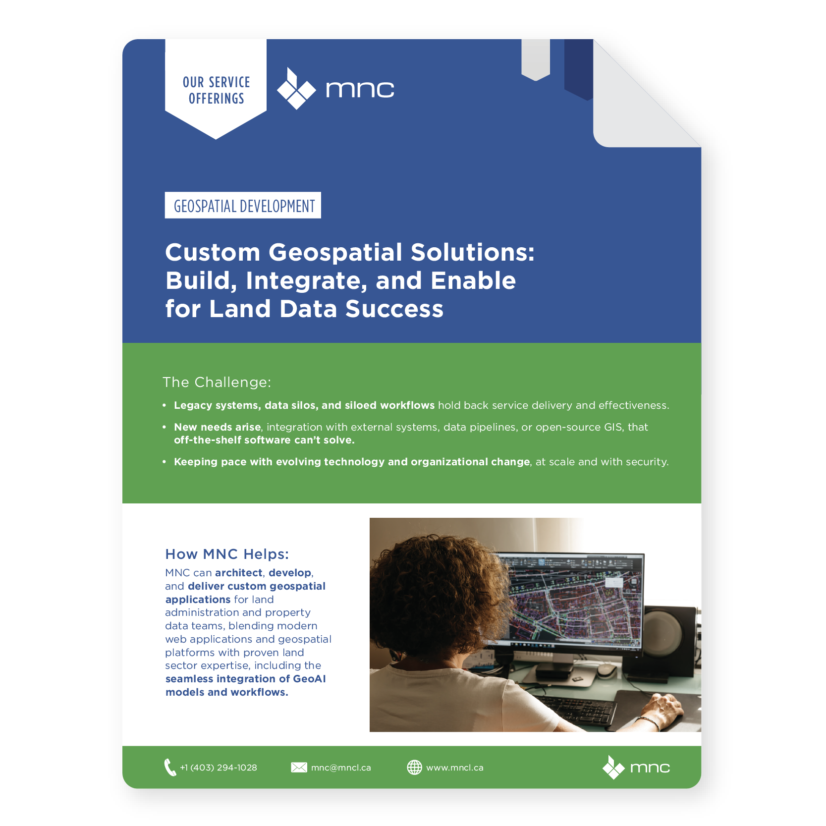
Developer building geospatial applications and working with GIS data on a computer workstation
MNC Geospatial Development Service Brochure Thumbnail

Why Geospatial Development Services?

Modernize land systems with secure, GeoAI-ready geospatial development.

Valued Outcomes

Enhanced accuracy, reliability, and accessibility of land records and spatial data.
Seamless integration between legacy systems, open-source platforms, and Esri technologies.
Flexible, scalable solutions tailored to meet evolving land administration and cadastral needs.
Integration of GeoAI technologies to increase workflow accuracy and efficiency.
Accelerated deployment of innovative mapping and data management applications.
Future-proofed system architecture that supports growth and technology advancement.
Secure, efficient distribution of geospatial data to stakeholders and the public.
Improved collaboration across departments and external agencies.
Optimized use of both open-source and proprietary technologies for greater cost-effectiveness and operational performance.

Frequently Asked Questions

What is Geospatial Development?

Geospatial development is the design and building of custom software applications, tools, and integrations that manage, analyze, and distribute spatial data. For land administration, this includes automated plan validation systems, web-based land portals, CAD-to-GIS converters, data integration pipelines, and mobile field data collection apps, all built specifically for land governance and cadastral management.

Configuration adjusts settings, templates, and workflows within an existing platform like ArcGIS Enterprise, it is faster, lower cost, and lower risk. Custom development builds purpose-specific tools when a configured COTS solution cannot meet your requirements. MNC always recommends starting with configuration before considering custom development and evaluates that question objectively before any build scope is agreed upon.

→ Discuss your development requirements: mncl.ca/contact/

→ See geospatial use cases: mncl.ca/use-cases/

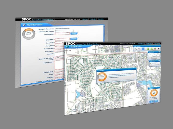
MNC's most recognized custom-built tools include SPOC (Survey Plan Online Checker) for the Government of Alberta, which reduced review time by 90%, and the Plan Submissions Online (PSO) system for Saskatchewan's Information Services Corporation. MNC also built SmartMap for Alliance Pipeline, a web GIS platform for engineering document and CAD file management.

MNC blends open-source technologies, including PostGIS, QGIS components, and Python-based spatial libraries, with Esri's ArcGIS platform, depending on what best fits your budget, requirements, and technical environment. Open-source tools can significantly reduce licensing costs while still delivering enterprise-grade capabilities. MNC evaluates the right technology mix for each project on its merits.  

System integration is central to MNC's geospatial development work. MNC connects GIS platforms with Land Information Systems, property assessment databases, registry systems, and other organizational data sources using APIs, FME workflows, and custom middleware, creating a single, authoritative, synchronized view of land records across your systems.

MNC integrates GeoAI capabilities directly into custom applications, including automated feature extraction, spatial anomaly detection, and intelligent plan validation logic. SPOC's automated QA/QC checks reduce Alberta Land Titles' manual review workload by 90%. New builds increasingly incorporate machine learning models for pattern recognition, boundary classification, and predictive spatial analysis.

Elevate Your Land Data With Trusted Geomatics Experts

From Parcel Fabric Modernization to seamless data migration,
MNC delivers reliable, on-time, and on budget solutions tailored to your
organization's needs. Let's build smarter systems together.