








Online Digital Plan Submissions for Land Administration

MNC is a pioneer in Online Digital Plan Submission solutions, providing a comprehensive suite of tools designed specifically for organizations managing land and property data throughout its full life cycle. Digital plan submission tools, many powered by GeoAI, are essential for modernizing how land administration agencies handle cadastral plans, survey records, property boundary updates, and associated documentation. These tools enable efficient, compliant, and transparent management of land-related submissions.

Key Features

Specification

Define the validation rules for digital plans and survey documents. Use MNC’s proven plan specification, or collaborate with our experts to tailor validation criteria to your jurisdiction’s operational requirements. GeoAI can further enhance this by intelligently identifying complex spatial patterns and inconsistencies, proactively suggesting rule refinements based on historical submission data.


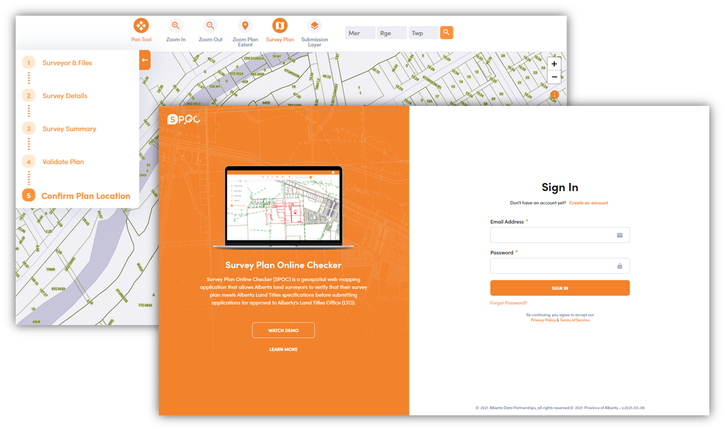
Digital plan submission portal showing validation, review, and approval workflow for land records
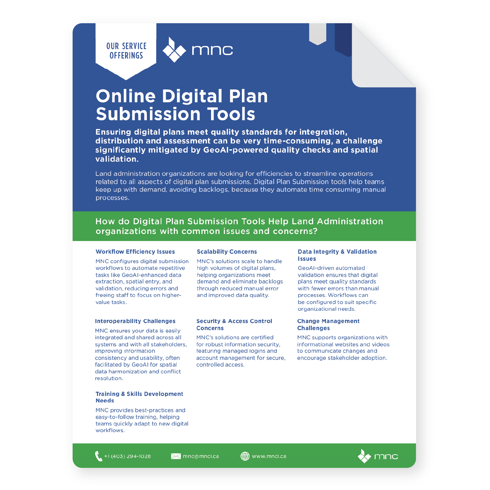
MNC Online Digital Plan Submissions Service Brochure Thumbnail

Why Online Digital Submissions for Land Administration?

Streamlined plan submissions with automated validations and GeoAI-powered checks.

Valued Outcomes

Keep up with increasing demand through scalable digital workflows, enhanced by GeoAI-driven automation.
Faster processing and approvals of plan submissions.
Improved data quality, validation, and compliance with regulatory requirements, underpinned by GeoAI's advanced analytical capabilities.
Reduced operational costs by shifting to paperless, automated workflows.
Streamlined integration with official land records and systems, intelligently managed by GeoAI.
Robust support for e-Government initiatives and digital transformation goals.

Frequently Asked Questions

What is a digital plan submission tool?

A digital plan submission tool is a web-based system that allows surveyors and other professionals to electronically submit survey plans to a land administration office. The tool automatically validates each submission against defined rules before acceptance, reducing manual review burden, eliminating paper, accelerating approvals, and improving data quality at the point of entry. 

When a surveyor uploads a plan, the system immediately runs automated checks: verifying spatial topology, confirming required attributes are present and correctly formatted, checking compliance with jurisdiction-specific standards, and flagging errors with actionable guidance. Plans that pass are queued for final sign-off; plans with issues are returned to the submitter immediately with a detailed error report. 

Multiply your annual plan submission volume by the average hours of manual review per plan, then multiply by your hourly staff cost. That is your current annual cost of manual validation. MNC's digital submission tools typically reduce that cost by 80–90%, and further reduce downstream rework costs from plans with errors reaching the register. Contact MNC to model the ROI for your specific volumes. 

Surveyors gain immediate, material benefit. Pre-submission validation lets them catch errors when they are still inexpensive to fix, before a formal rejection. SPOC users consistently report saving over $2,000 per plan by identifying and correcting geometric or attribute errors before submission to Alberta's Land Titles Office.

→ Discuss your plan submission requirements: mncl.ca/contact/

→ View SPOC use case: mncl.ca/use-cases/alberta-spoc-validation

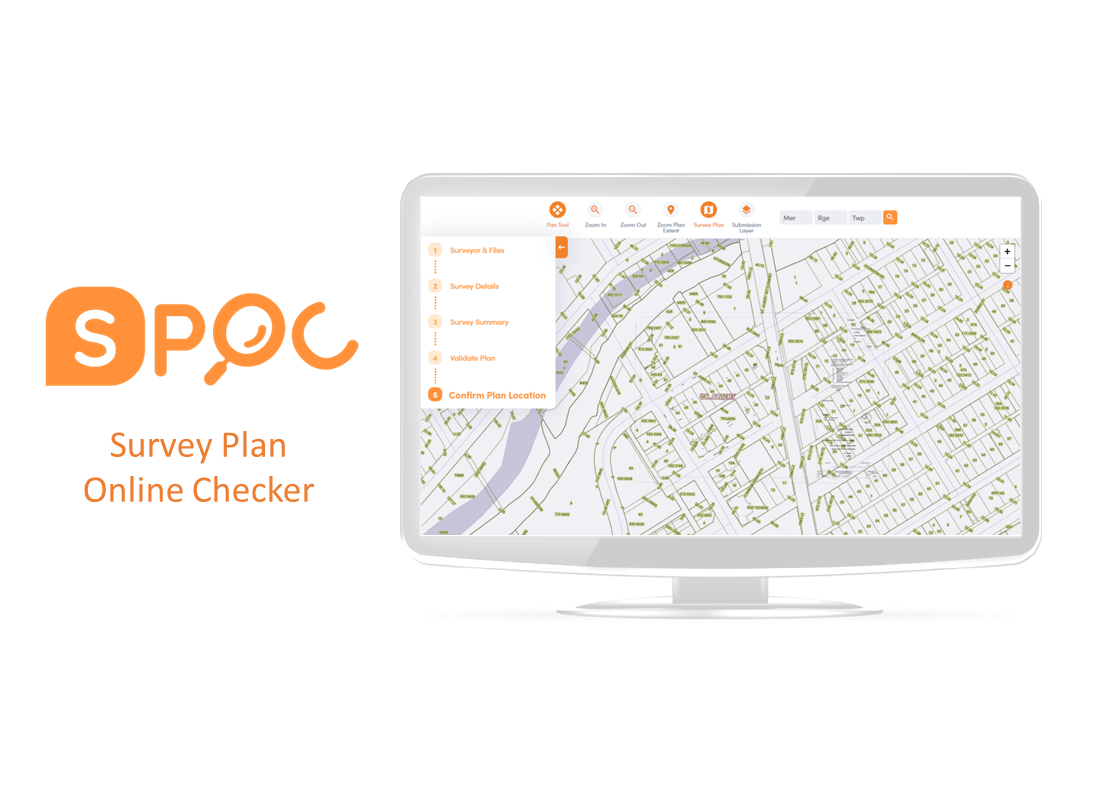
SPOC (Survey Plan Online Checker) is MNC's flagship digital plan submission and validation platform, originally built for the Government of Alberta's Land Titles Office and modernized in 2020. SPOC automates the validation of digital survey plans against Alberta's submission standards before a human reviewer sees them. SPOC reduced plan validation time by 90% compared to manual review.

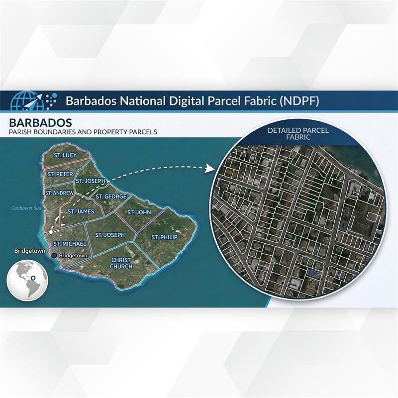
Integration with your Parcel Fabric, Land Information System, or GIS database is a core feature of MNC's digital plan submission solutions. Approved plans flow directly into your spatial database with full documentation links, eliminating the manual re-entry step that is the primary source of errors and delays in traditional cadastral workflows.

MNC configures the validation specification for each jurisdiction from scratch, based on its specific standards, submission rules, and technical requirements. MNC has delivered digital plan submission systems for Alberta, Saskatchewan, British Columbia and other jurisdictions. The validation logic, portal, and integrations are all configured to match your local rules.

Elevate Your Land Data With Trusted Geomatics Experts

From Parcel Fabric Modernization to seamless data migration,
MNC delivers reliable, on-time, and on budget solutions tailored to your
organization's needs. Let's build smarter systems together.